 Here you can read about our fieldwork progress and some choice finds beginning with our first Explore and Evaluate phases of work in August-September 2018 and in September-October 2019. This initial stage builds on what we already know, or suspect, from satellite and LiDAR imagery over several years. We’re grateful to the ECVBL group who have provided £9,000 (2018) and a further £12,700 (2019) for these activities, conducted by the core project team members and expert service-providers in order to scope the potential for further funding, and therefore community-inclusive activities into 2020 and onwards. As always, we are also tied into the rhythms of the intensive agricultural calendar, with many thanks to Julian, the tenant farmer who works around the clock, but also accommodates our ventures with enthusiasm and flexibility.
Related pages
About the project | Maps and satellite images | Finds and latest results »
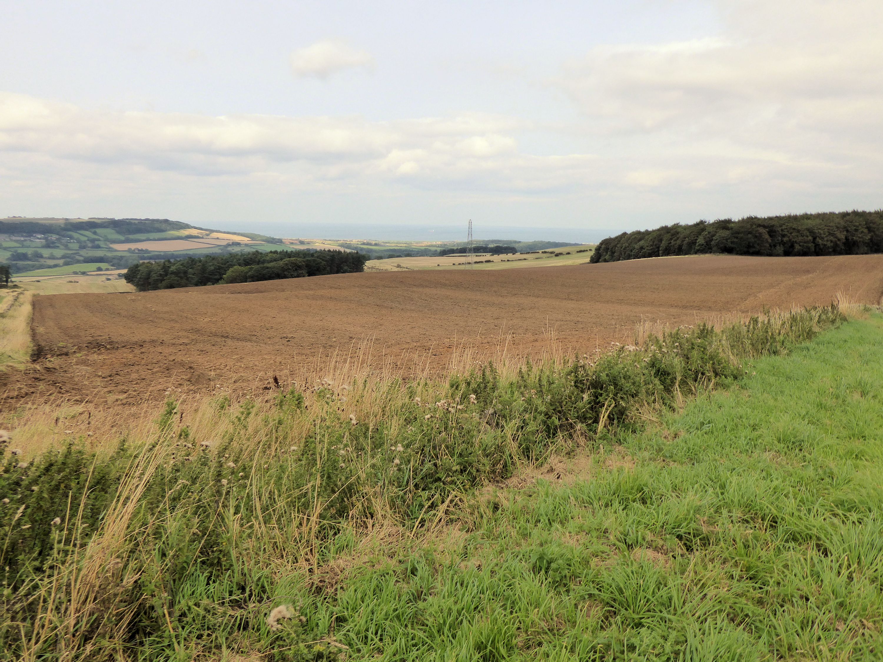
Field-walking | September-October 2019
 After a volunteer induction event at Tees Valley Wildlife Trust’s Margrove facility, volunteers undertook systematic field-walking in the southern area of Airy Hill. Line walking at 2m-spaced intervals gives 100% surface coverage, all finds being bagged and 3D GPS recorded. There are still relatively few surface finds suggesting that, even with a relatively thin top soil, the underlying archaeology is well preserved.
 Nevertheless, some excellent artefacts, in addition to a 17th-century musket ball and silver coin, include flint tools. These two examples, flint knives, are from a prehistoric settlement area in Field 5A, shown here in the geophysical survey results. They are at least 5,000 years old, dating to the late Neolithic, or even earlier.


Field 5 Enclosure and Field 7 Round Houses
The red arrow ↑ in the right-hand image above, Field 5a, marks a large enclosure perhaps around 50m diameter and associated features which could be domestic or religious. It is one of our priority targets for follow-up fieldwork including excavation. The finds from it recovered by careful field-walking are earlier prehistoric, perhaps Neolithic – our first agriculturalists (left image). These are quite rare finds and features for our area.
 Field 7 is in the centre, on the west side of the path. Area 7/2 shows at least three large prehistoric roundhouses which could date to the Bronze Age or Iron Age. There are enclosure boundaries too and, in detail, we can even see some of the internal house features such as fire-places (magnetic through heat) and post holes for massive timbers. The outlines are where the roof-draining ring ditches were. In fact we have these type of structures in many places in the survey areas, some inside ‘compounds’ (earlier in date) and some outside (later dates, perhaps the last century BC). Our cluster may not all be contemporary, but perhaps they looked like this? These are reconstructions at Castell Henllys, Pembrokeshire, © Adam Stanford.
Geophysical Survey | August 2018 to September 2019
 We have completed a geophysical survey of around 60 hectares (148 acres) across four of the fields which appear to show archaeological crop and soil marks. The survey, undertaken by Archaeological Services Durham University, deployed a quad bike with a trailor upon which antennae detect changes in the magnetic characteristics of the soil. High magnetic anomalies often indicate areas of past human activities where thermal events such as furnaces, kilns, hearths and burning have altered the sediment’s magnetism. You can download the reports and survey images here:
- Report by Arch Services Durham Uni (ASDU) 12-Oct-2018 (PDF 25 Mb)
- Report by Arch Services Durham Uni (ASDU) 02-Oct-2019 (PDF 53.5 Mb)
Field-walking Survey | August-September 2018
 In addition to the geophysical survey, the core team members have conducted and walk-over assessment survey and field-walking as the fields were rapidly ploughed for winter crops. While there was little time for weathering, the sandy nature of the ploughsoil in many areas together with some good, heavy overnight rain, allowed us to cover between 50% and 100% of most field surfaces, in lines either 2m or 4m apart. All finds have been 3D plotted using a GPS device so that we can look at spatial patterns – also in relation to survey results and aerial images.
Finds
The field-walking has recovered a significant number of finds, mostly of stone and flint, covering most prehistoric periods from the Mesolithic to Bronze Age and possibly later. You can learn more about all the periods from the Ice Age to modern times in the timelines chart.
The finds are being cleaned, analysed, catalogued and photographed. You can check on our progress in regular news posts.
 The find here is a flint ‘rod’ of uncertain use, but possibly a multi-purpose tool that would have been hafted with a bone, antler, horn or wooden handle. It dates to the Early Neolithic period (first farmers), between 3800 and 3500 BC. We also have a leaf-shaped arrowhead from the same period, a damaged Bronze Age barbed and tanged arrowhead and some flint scrapers used for scraping animal hides, fish scales, wood, bone or vegetable materials. Some artefacts, like a tiny ‘thumbnail’ scraper, have been burnt in the distant past and may relate to Bronze Age burial activities, also reflected by at last two burial mounds dating to the 2nd or 3rd millennia BC.
